The classic arches
Photograph from Channel level
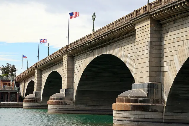
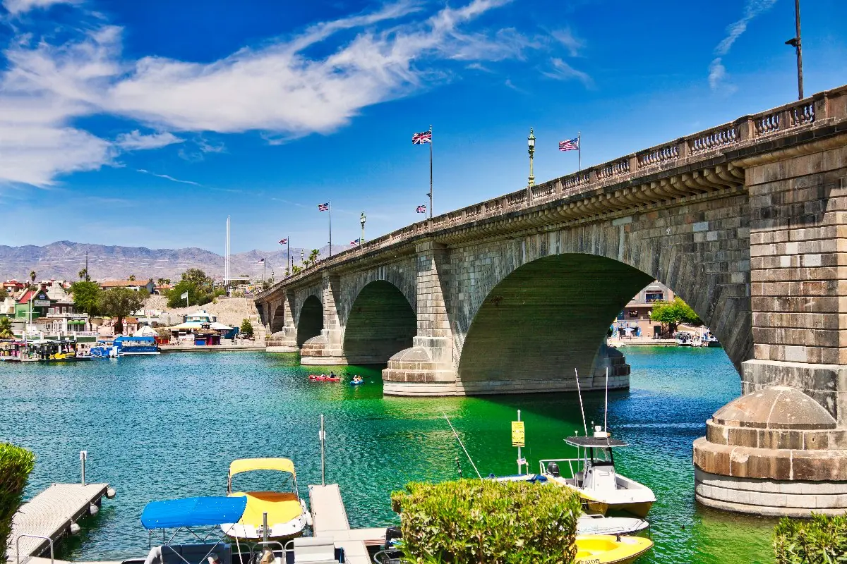
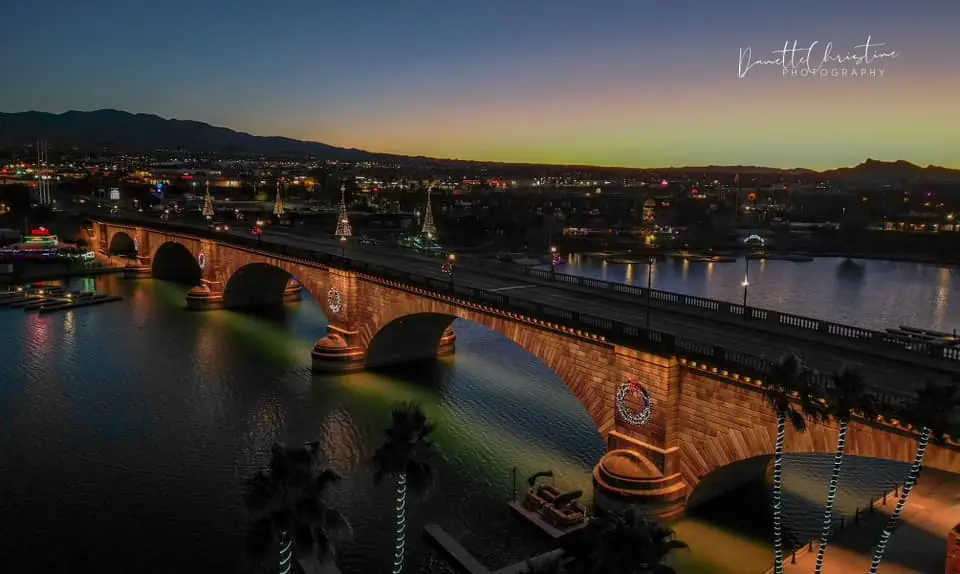
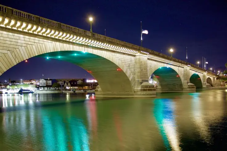
Stand back on a public shoreline path so the arches, water and passing boats establish the bridge’s scale.
Start at English Village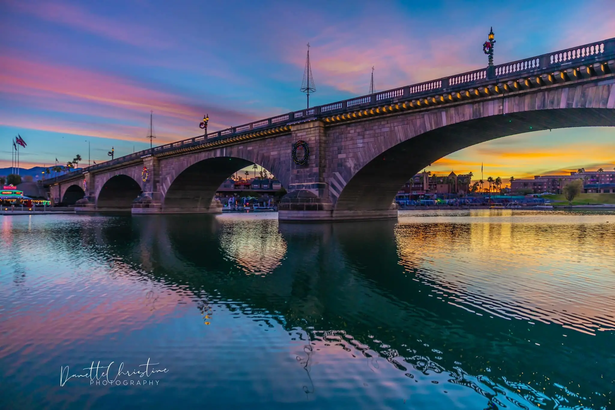
MODERN VIEWS · EVENTS · HISTORIC ARCHIVE
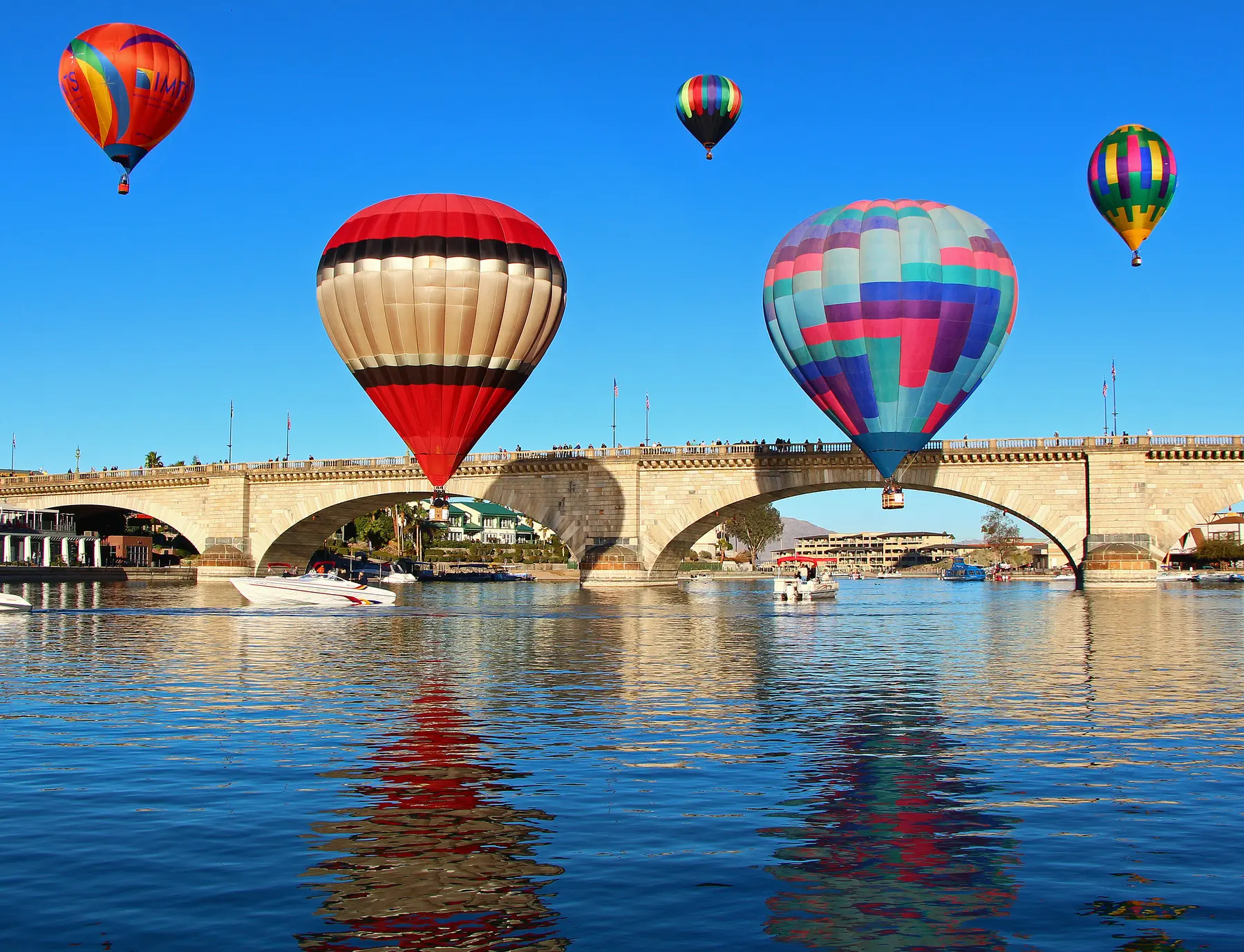
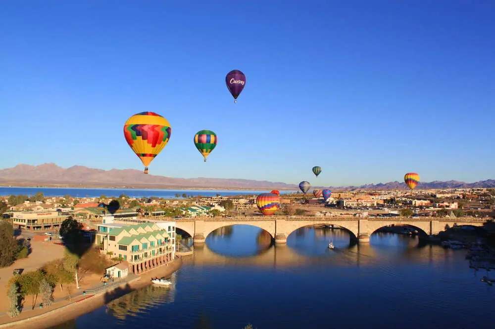
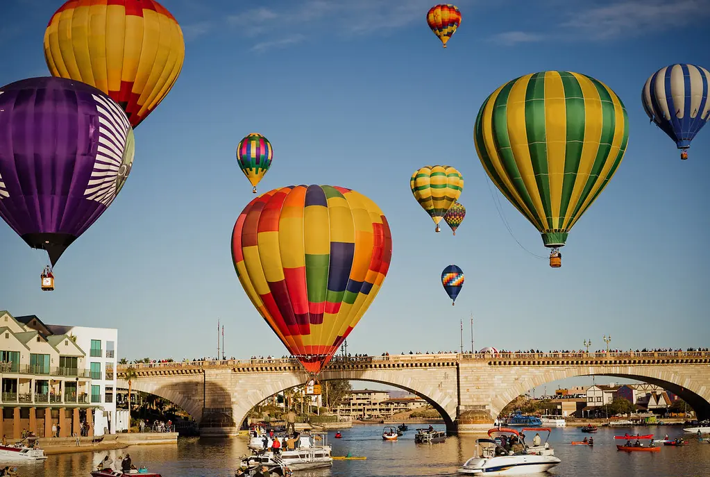
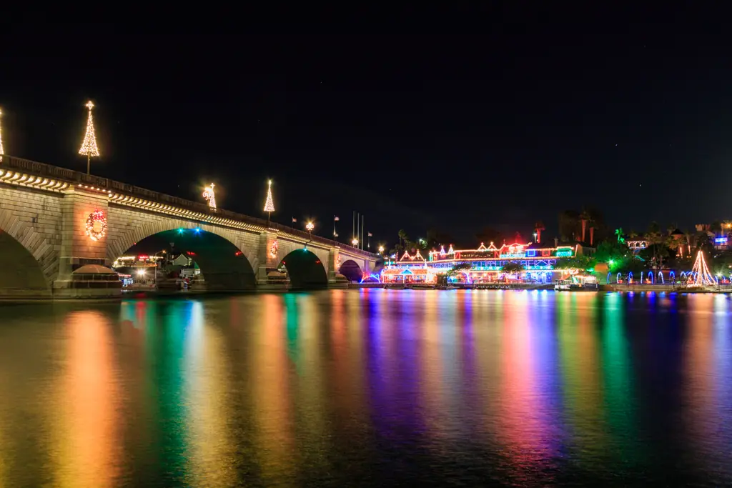
See London Bridge from Channel level, the Island, overhead, after dark and during Lake Havasu events—then follow the historic photographs from the River Thames through the Arizona reconstruction and the growth of the city around it.
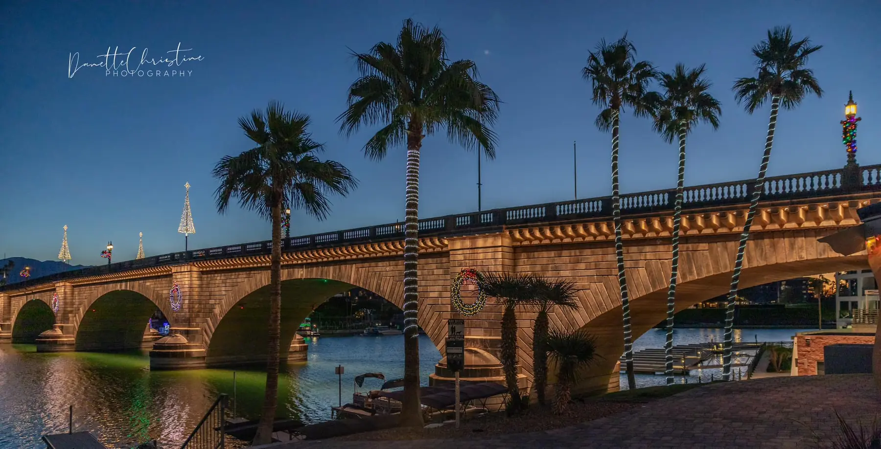
Photo: Danette Christine PhotographyThe bridge today
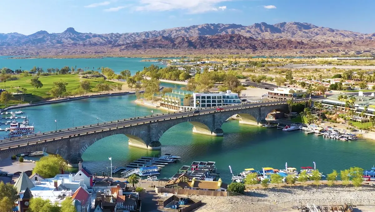
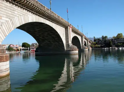
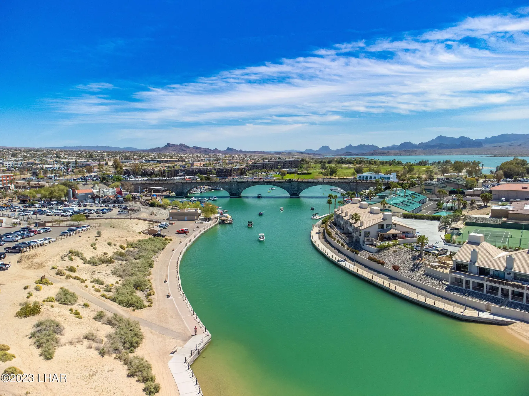
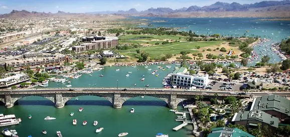
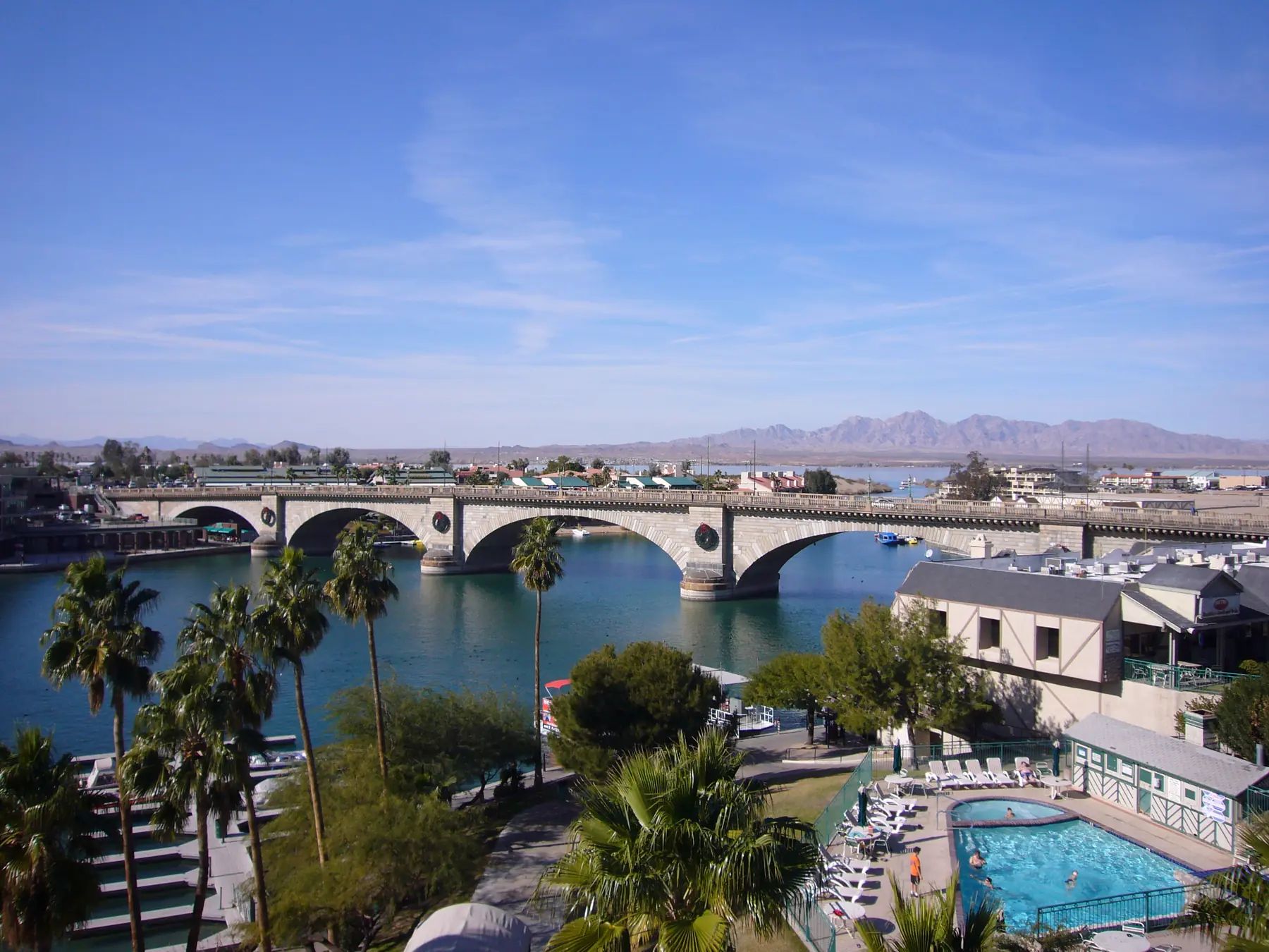
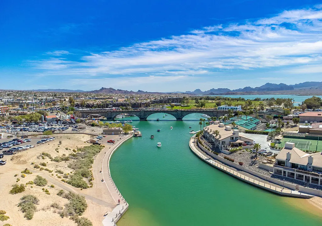
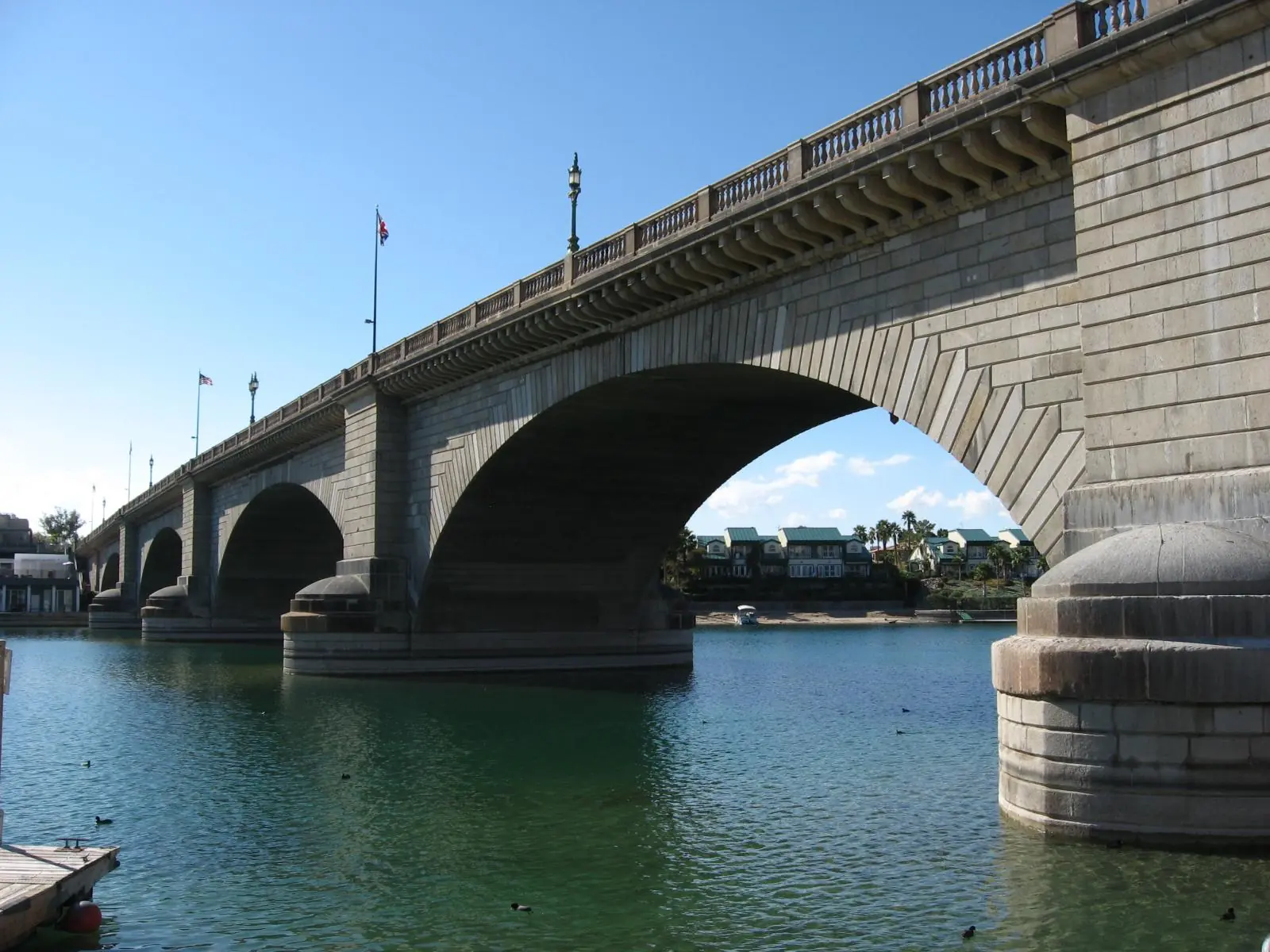
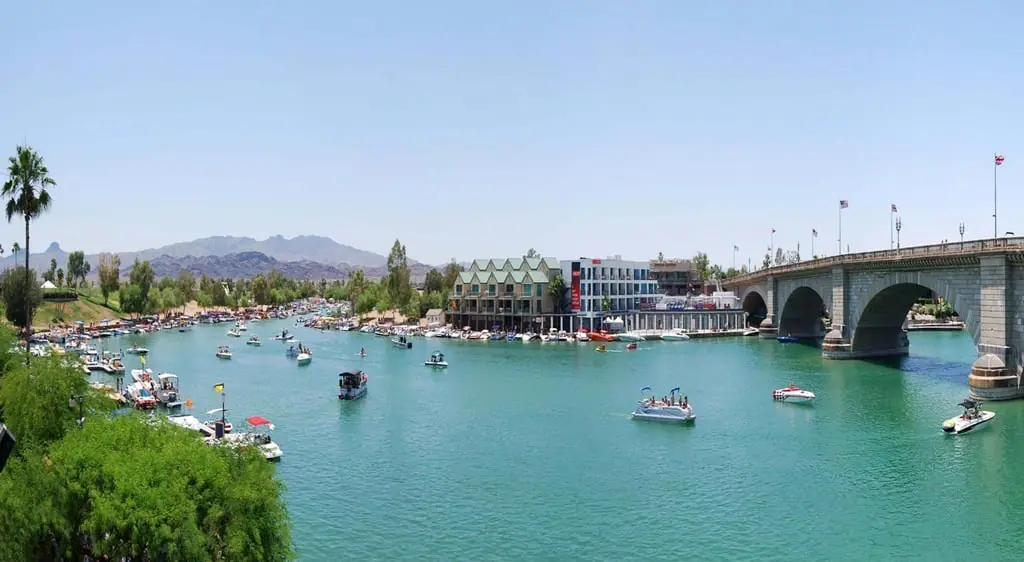
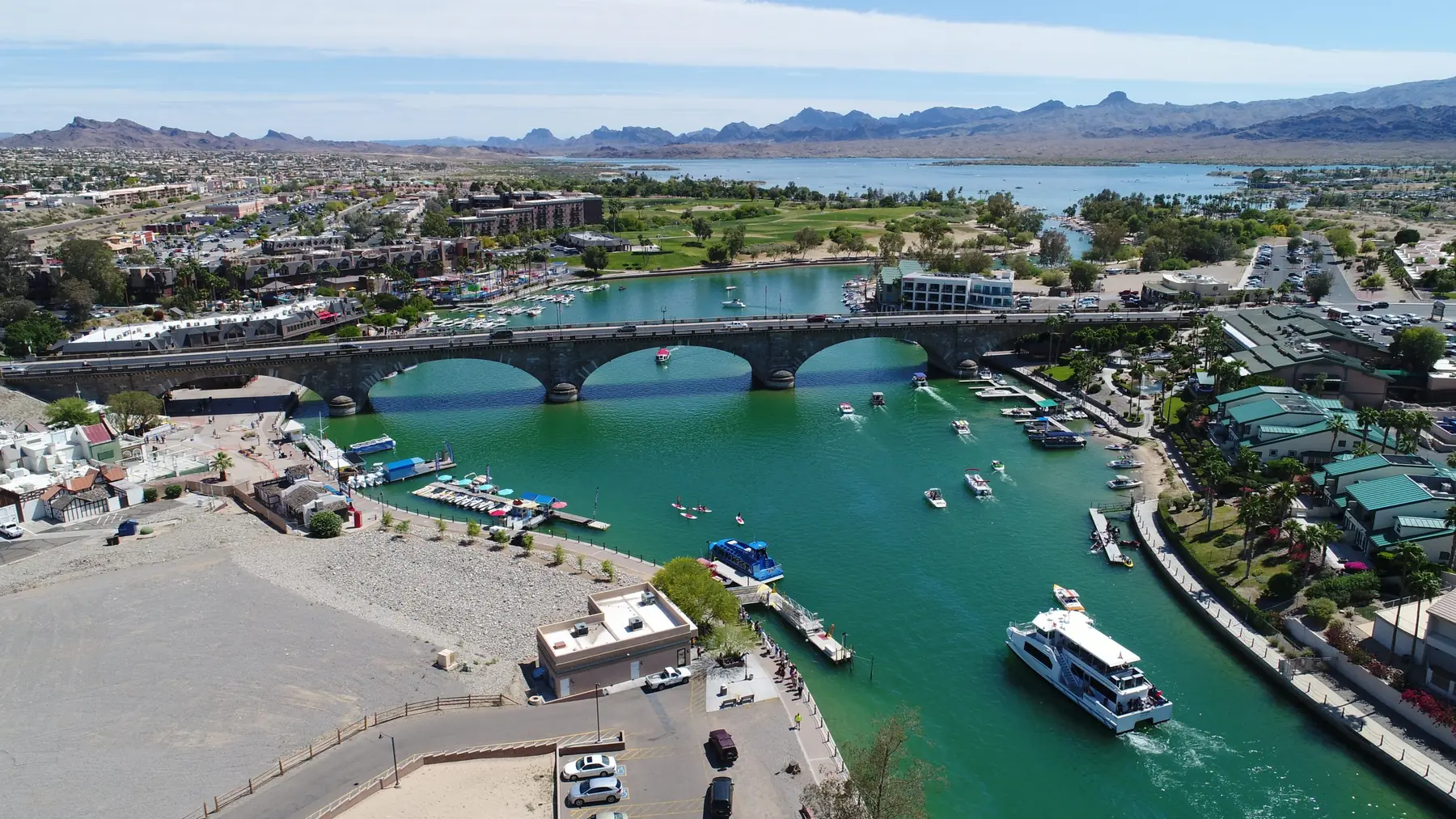
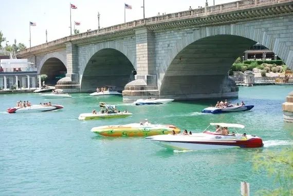
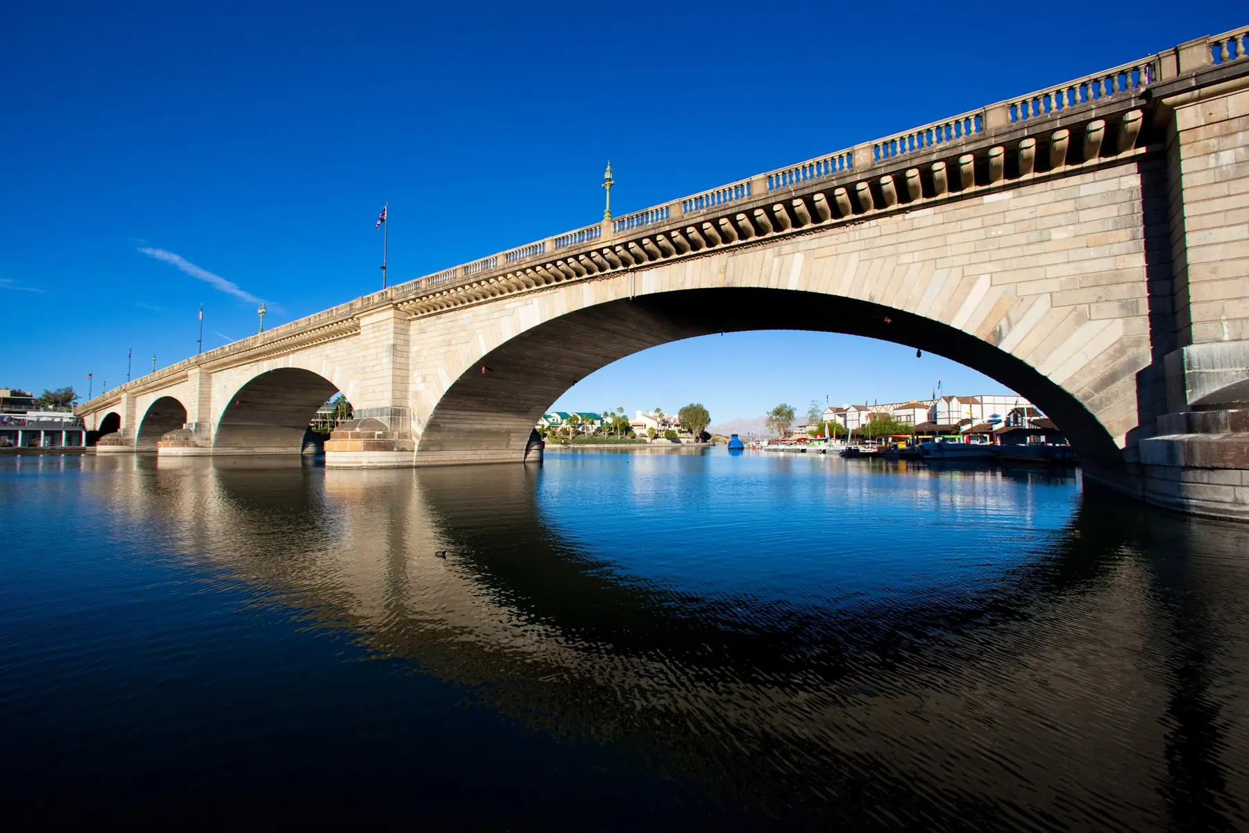
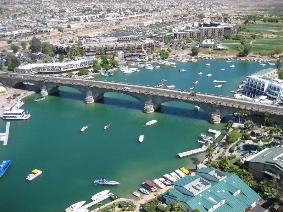
Start with the bridge as it actually looks during an ordinary Lake Havasu day: from the shoreline, beneath the arches, across the Channel and high enough to understand how the Island connects to the mainland.
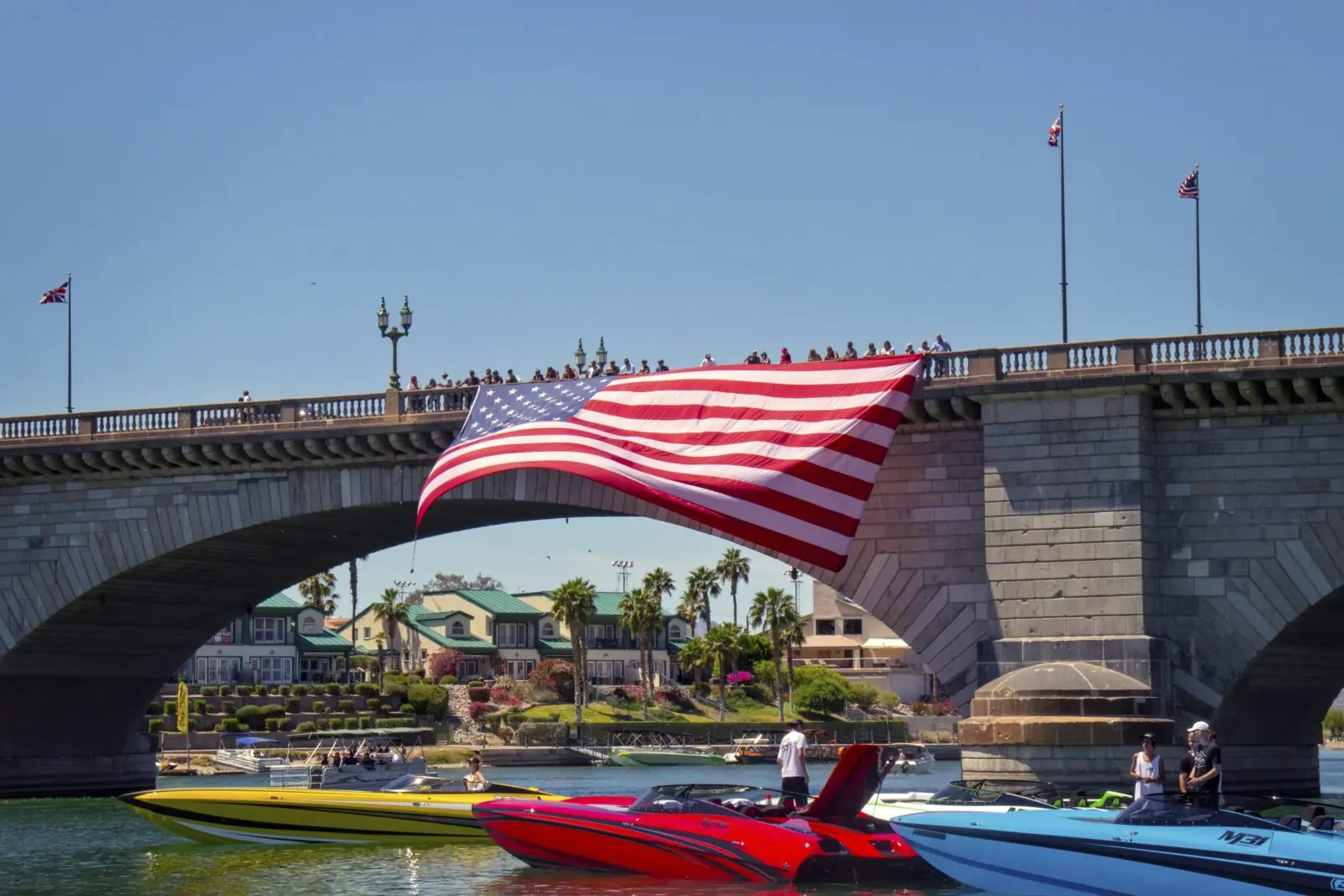
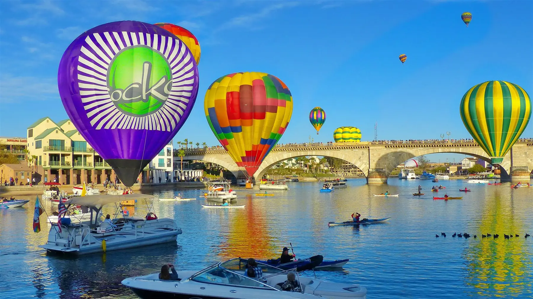
When the scene changes
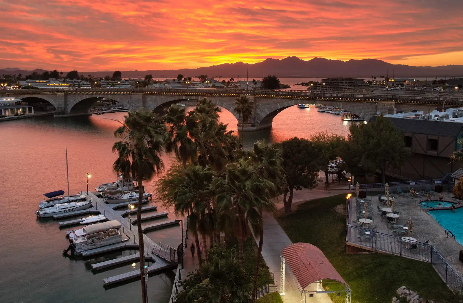
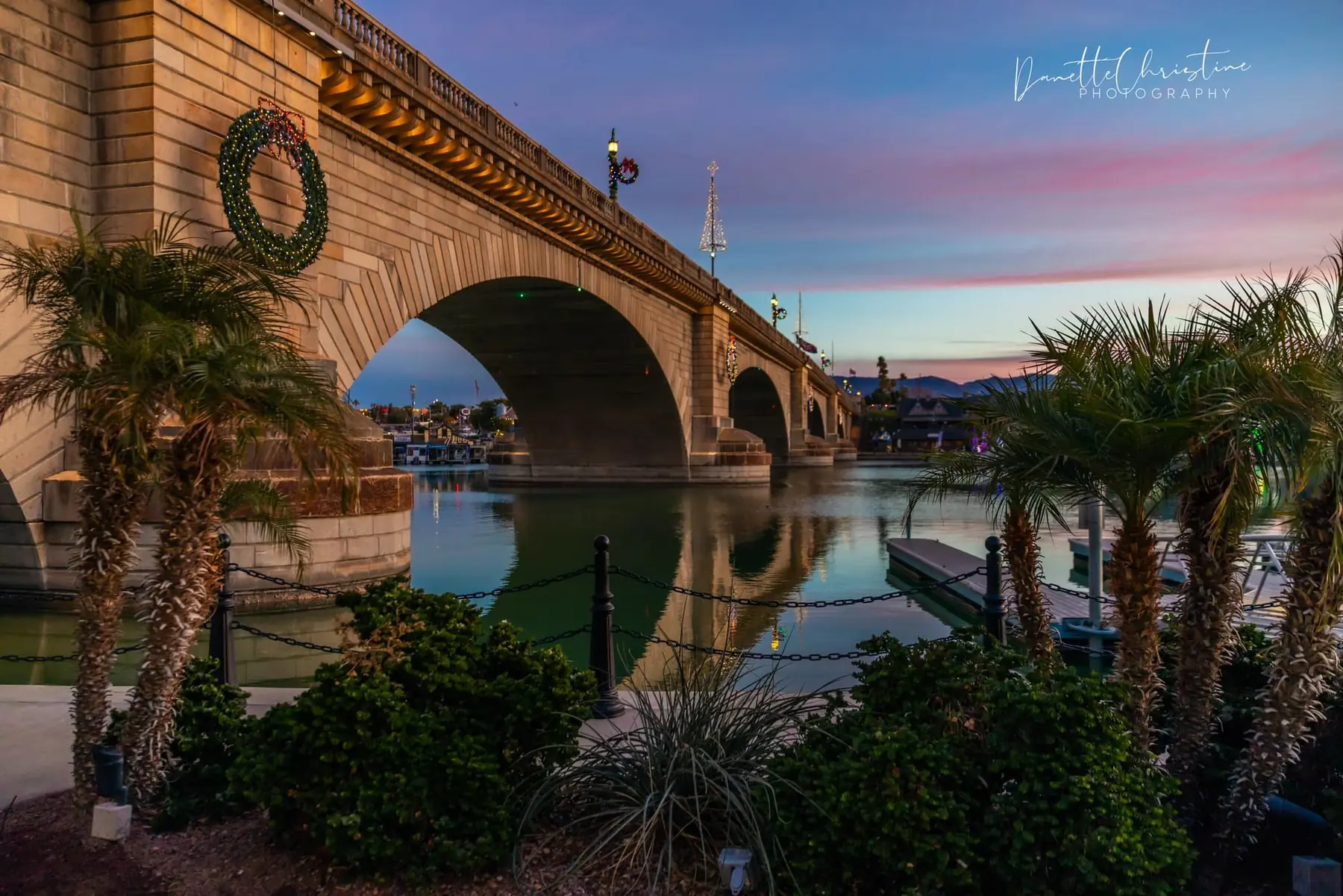
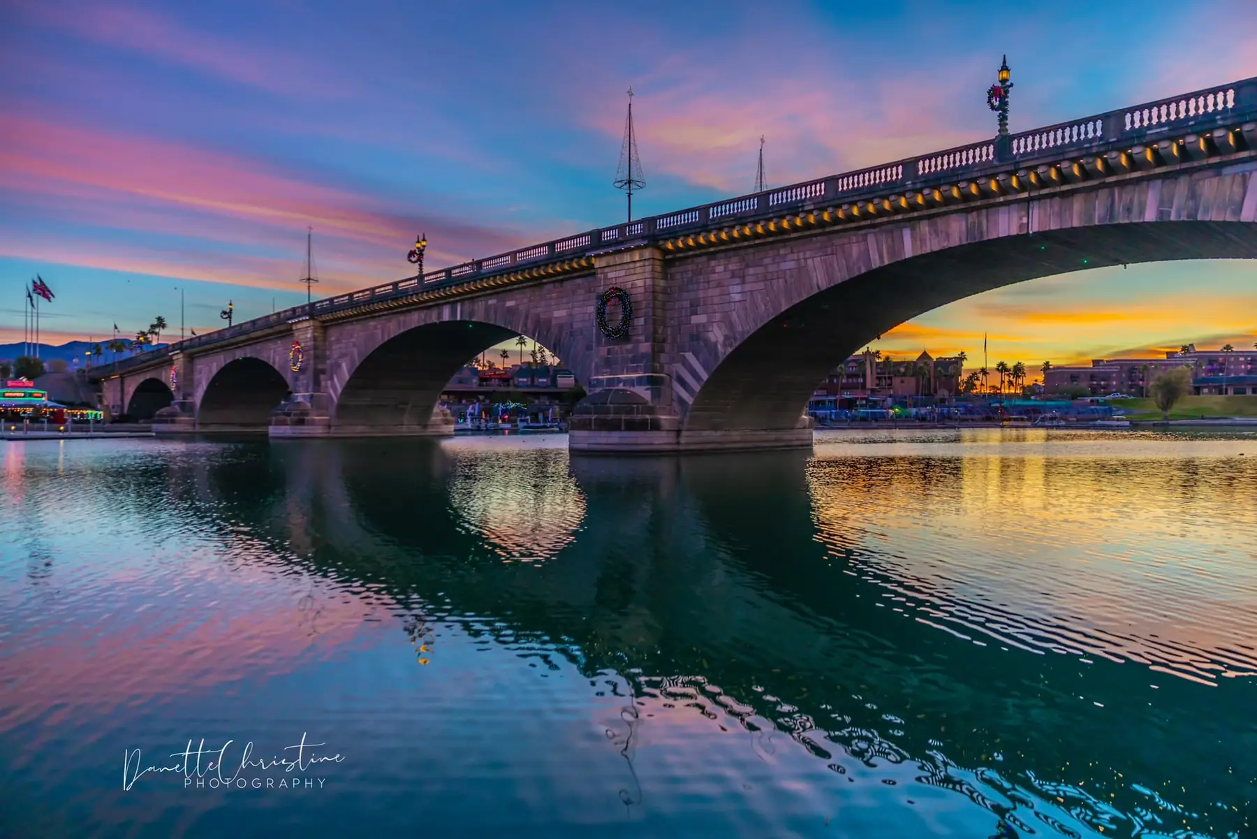
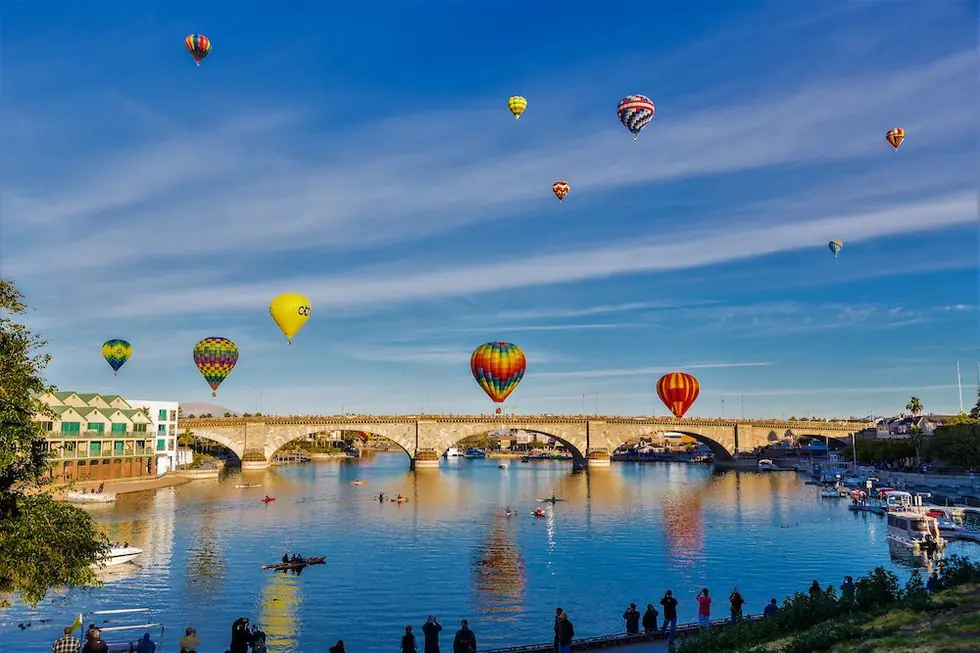
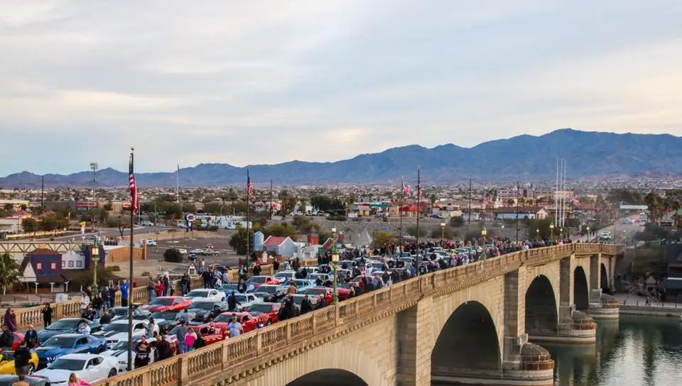
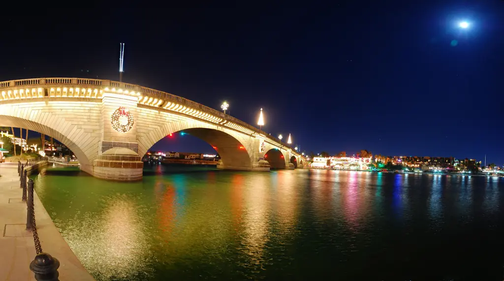
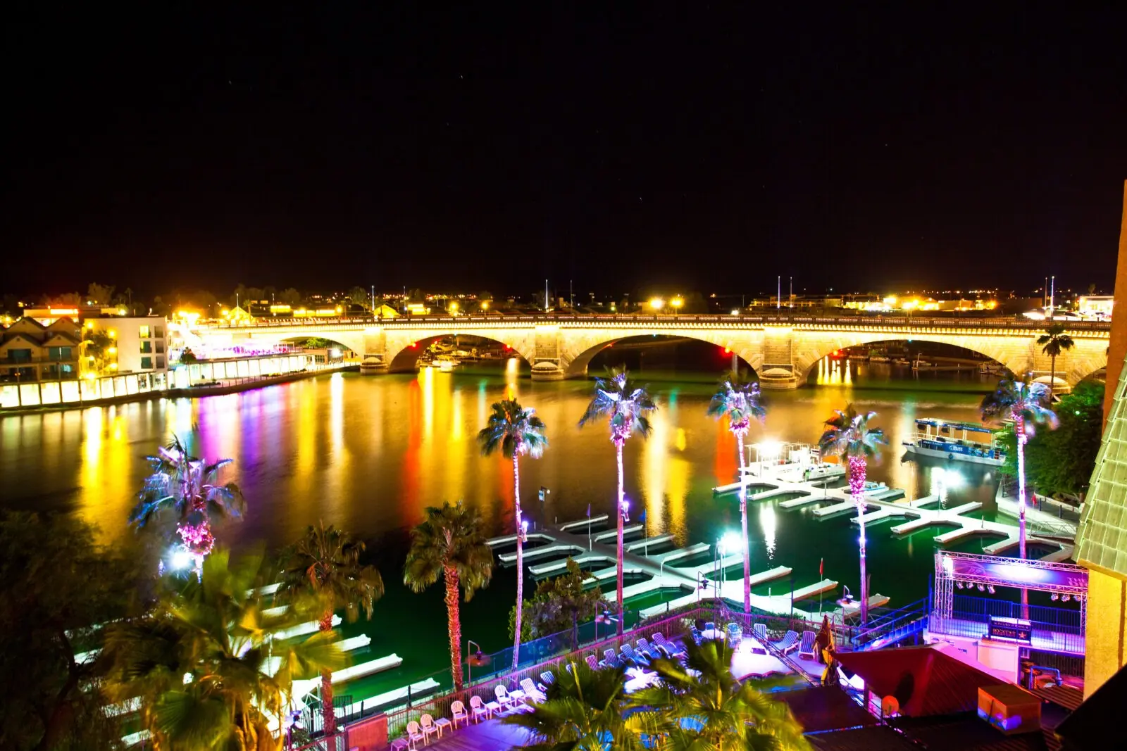
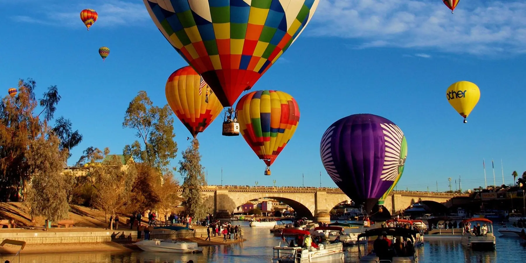
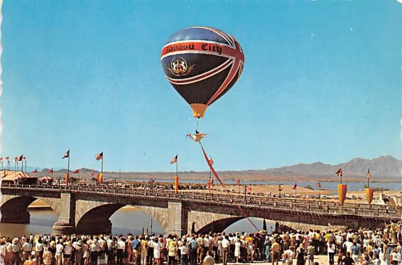
The bridge district can look completely different after dark or during a major event. These photographs show the activity, reflections and crowd scale that a standard daytime bridge picture misses.
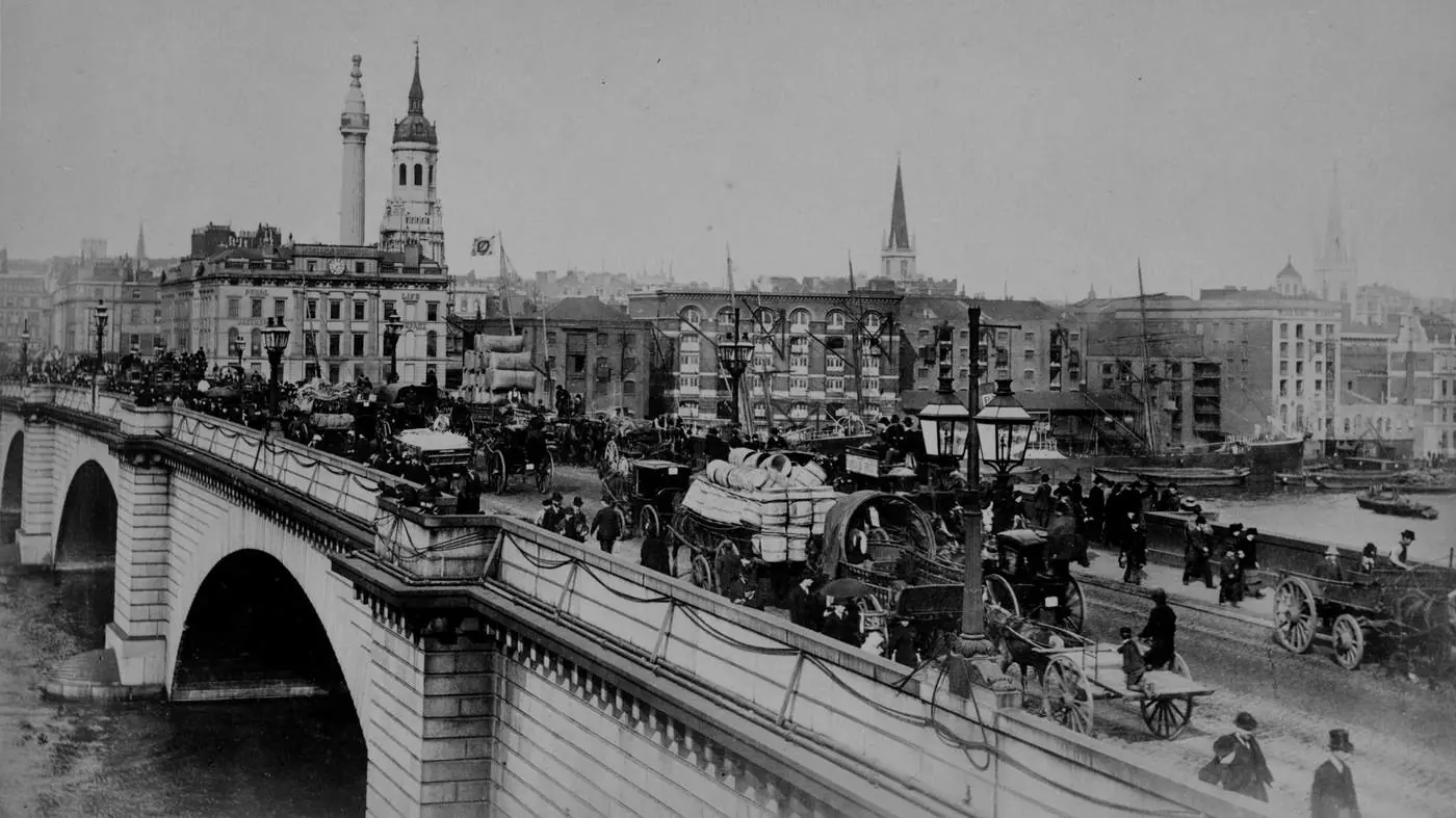
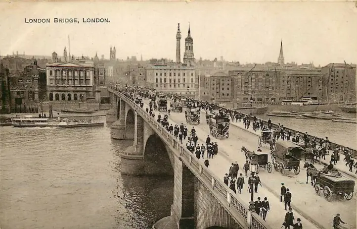
Before Arizona
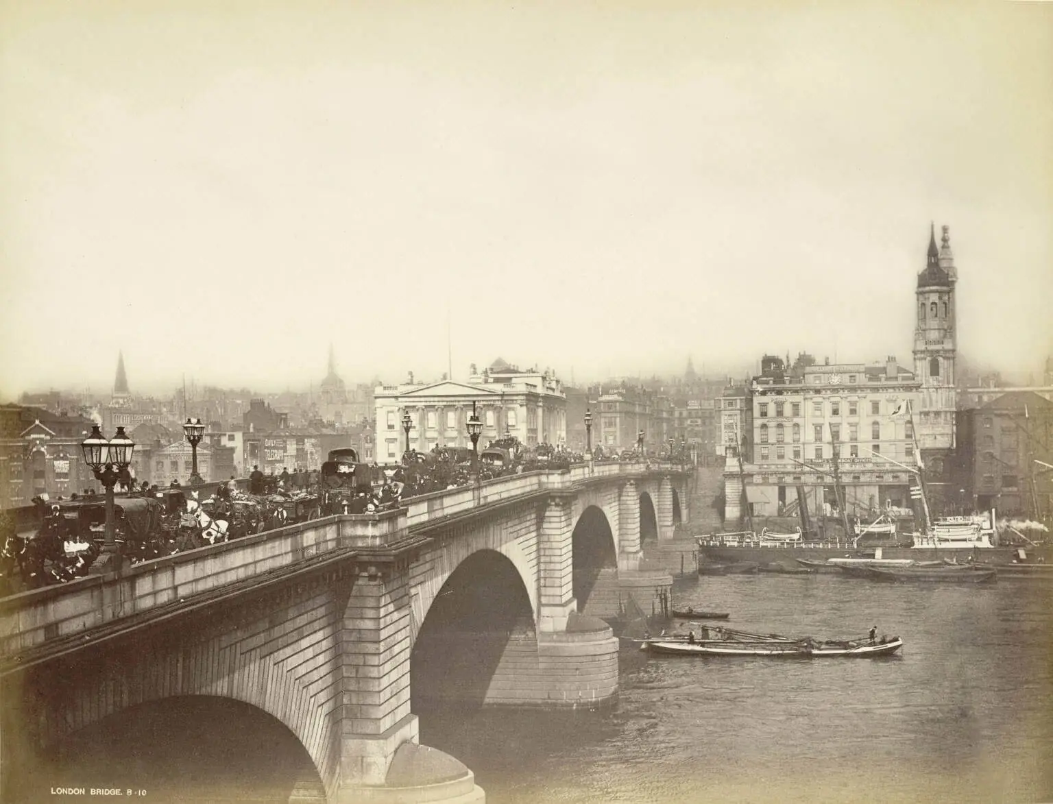
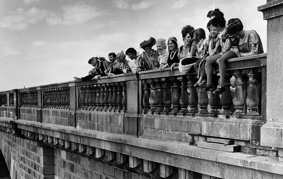
These views show Rennie's bridge carrying traffic across the River Thames. They are the visual starting point for understanding what London sold and what Lake Havasu City rebuilt.
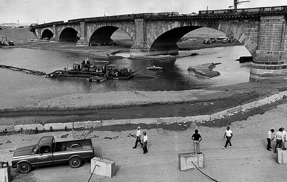
1968–1971
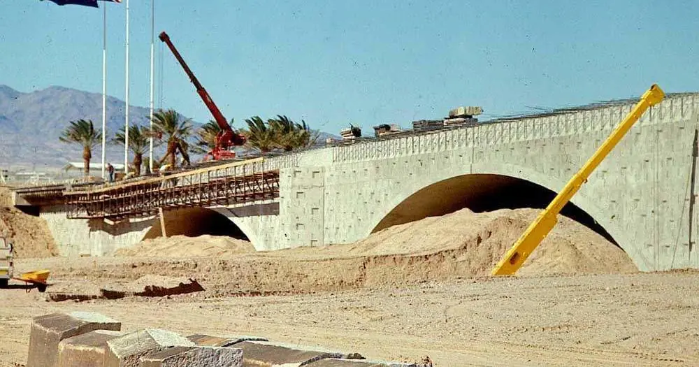
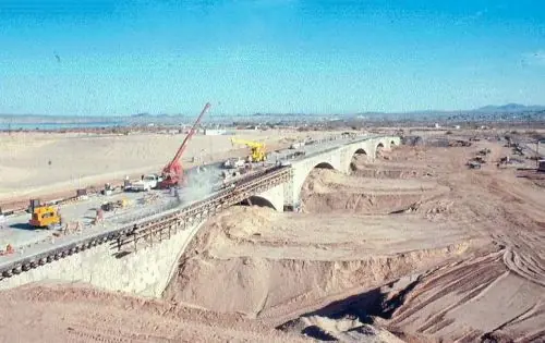
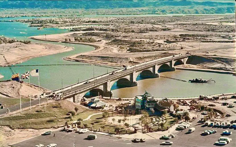
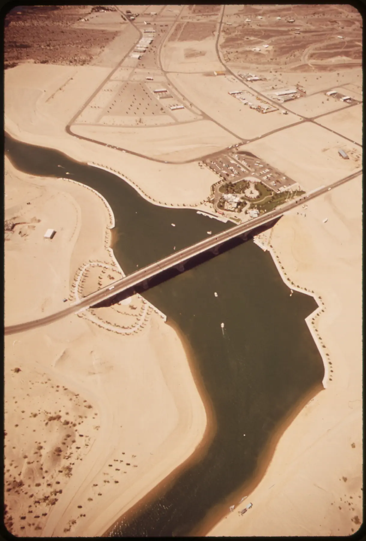
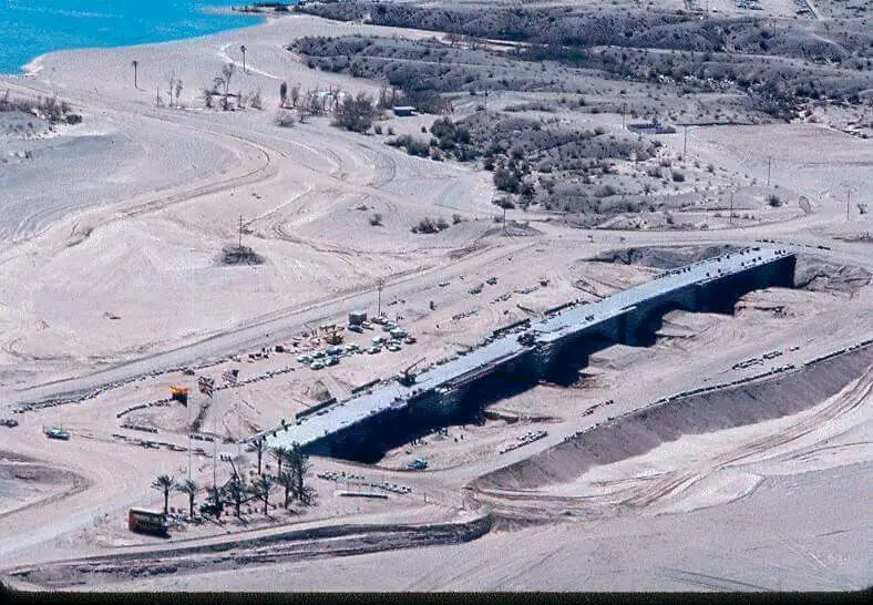
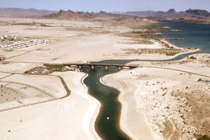
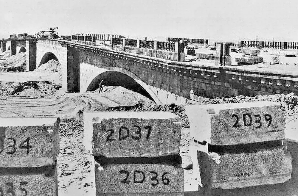
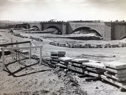
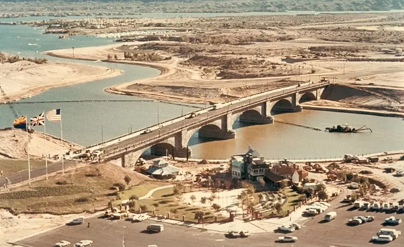
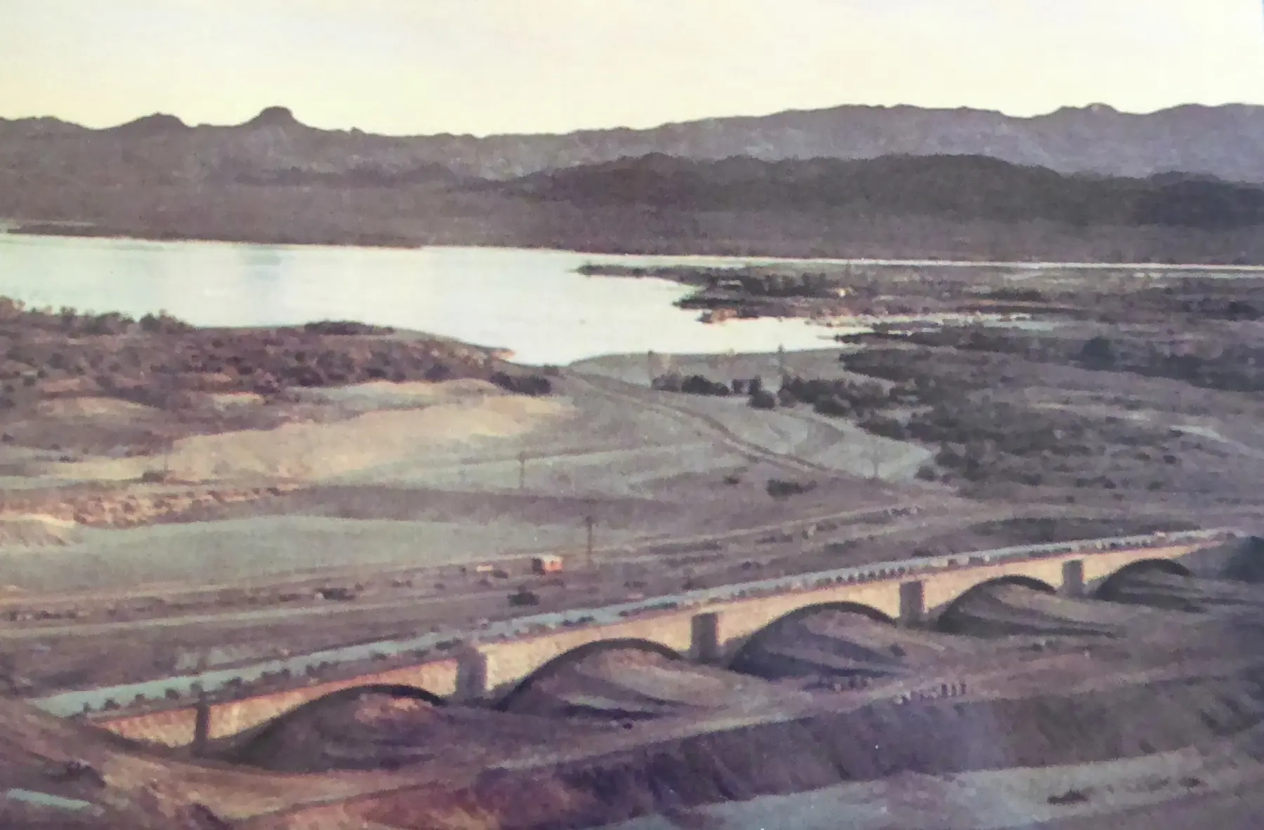
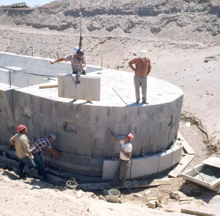
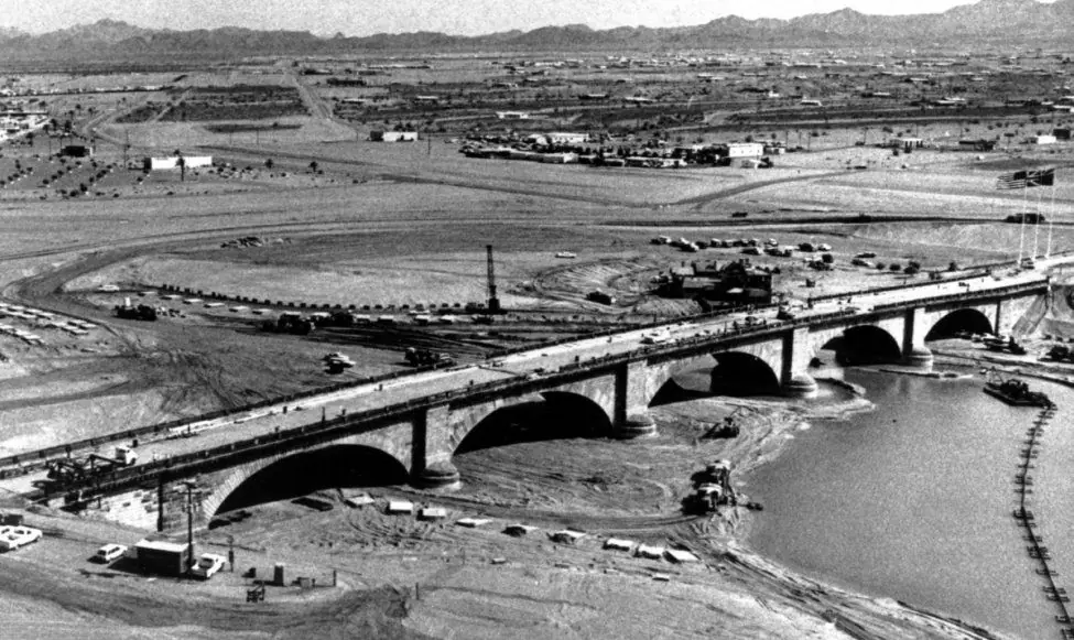
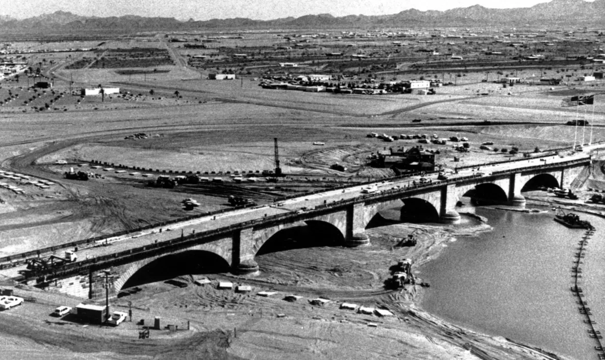
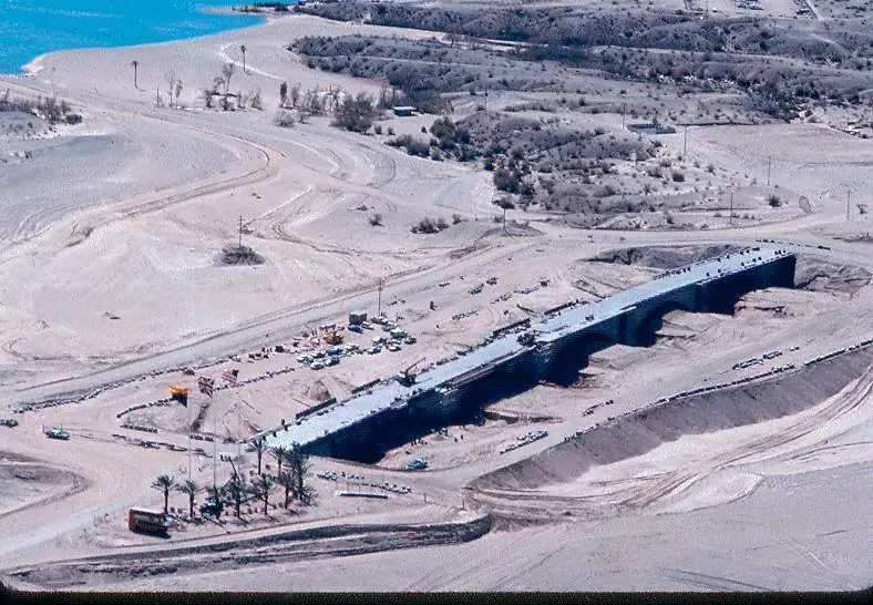
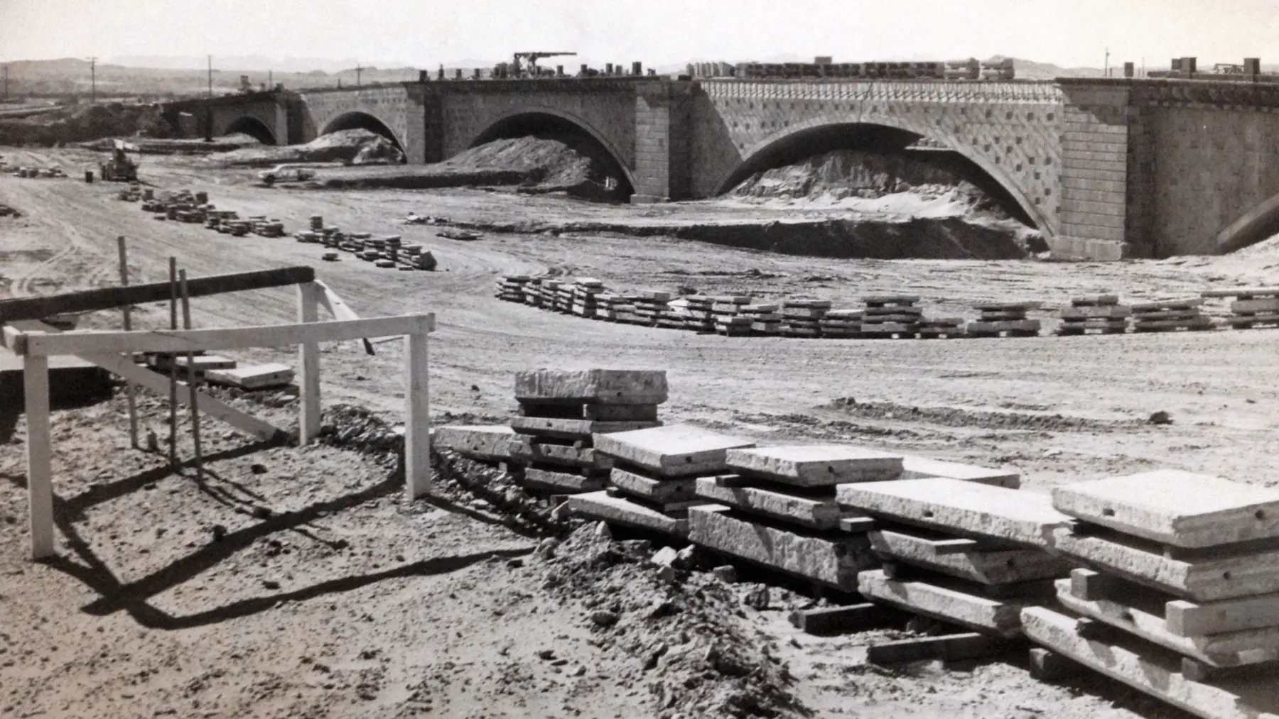
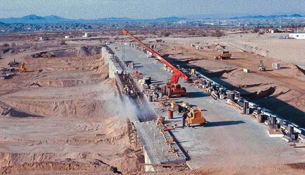
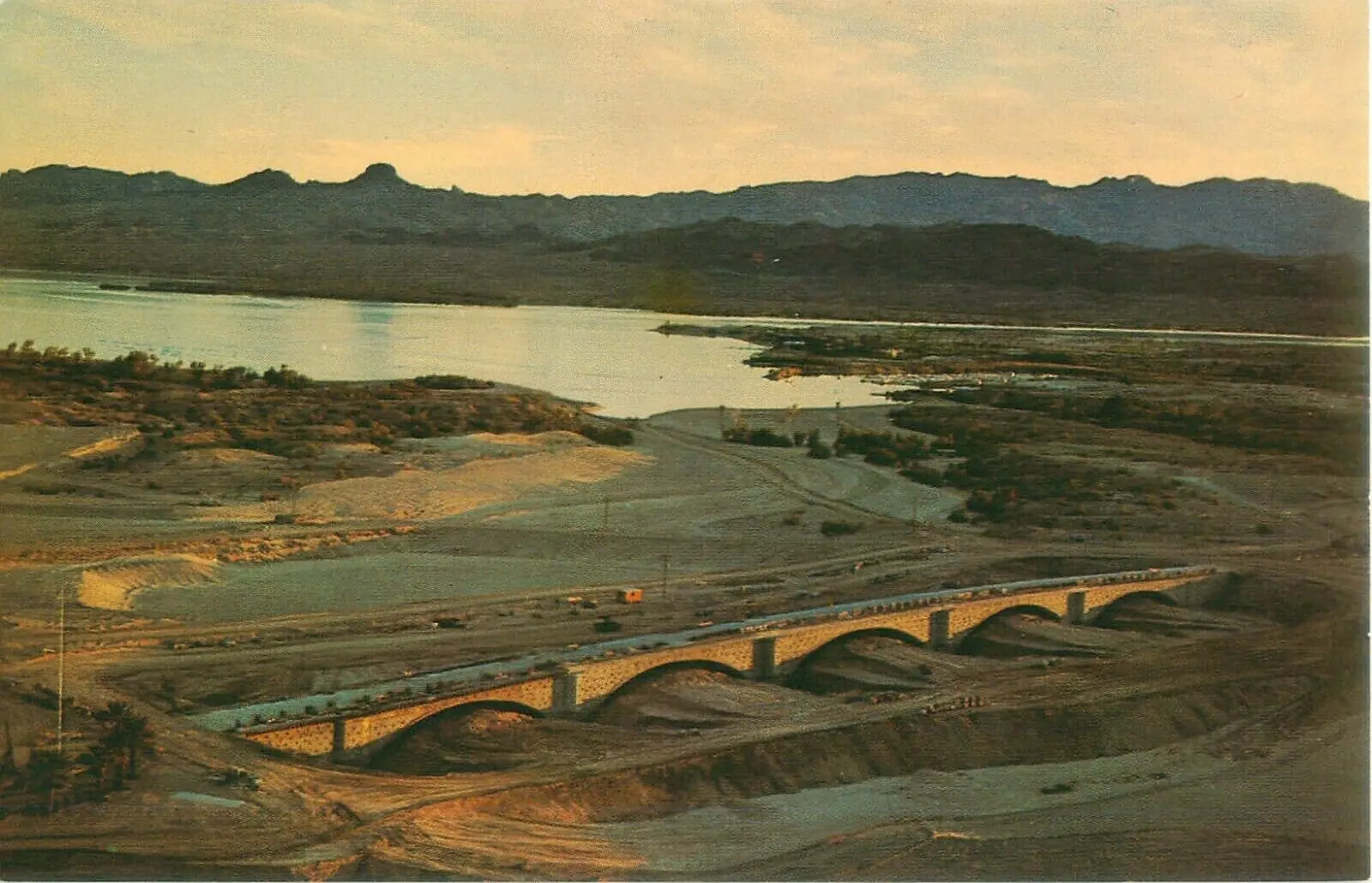
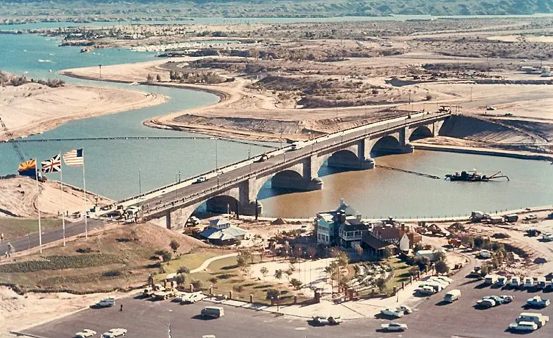
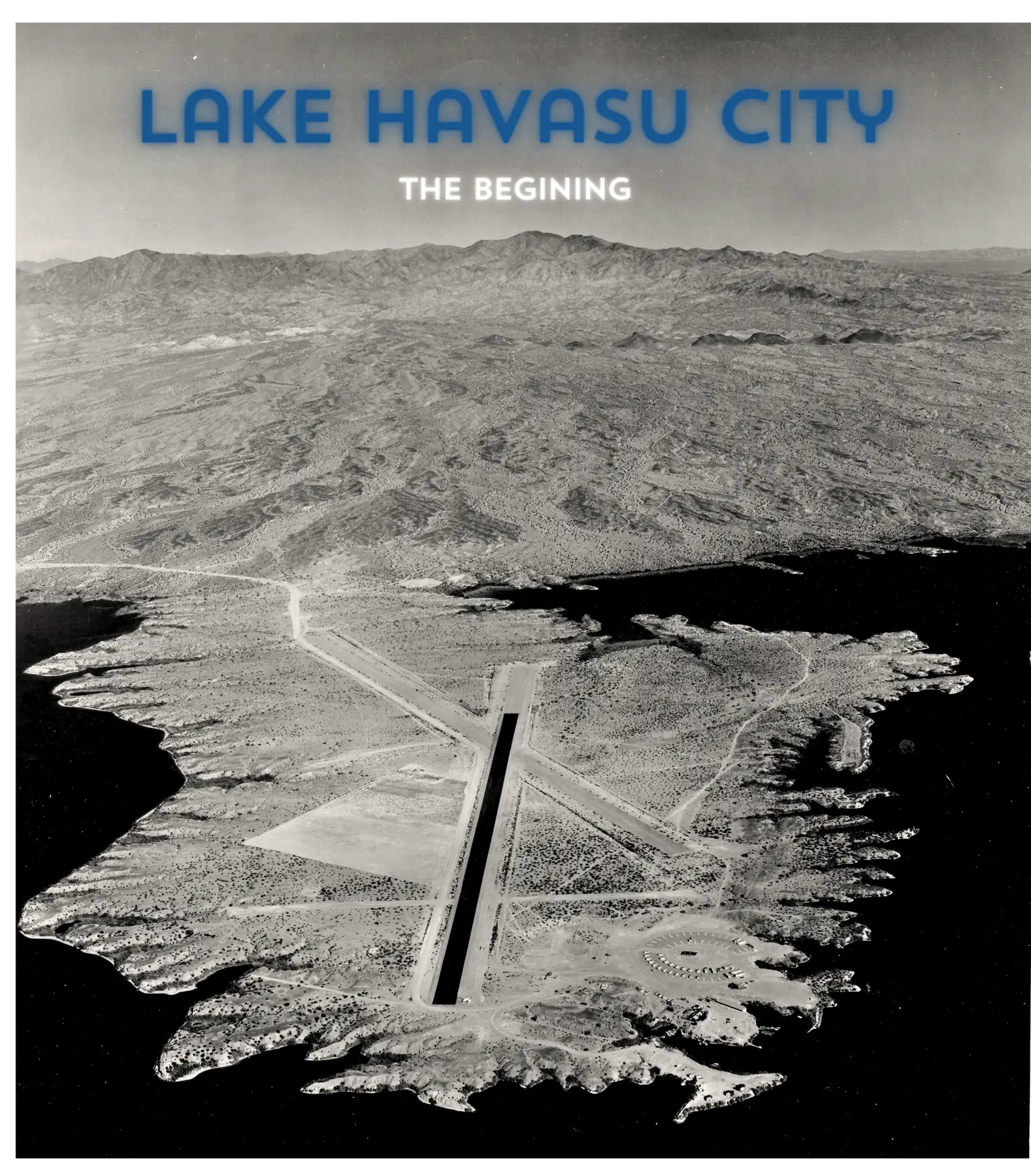
Construction photographs answer the part that words alone tend to flatten: the bridge went up on dry ground, the original granite was fitted around a modern core, and the Channel was excavated as part of the same city-building project.
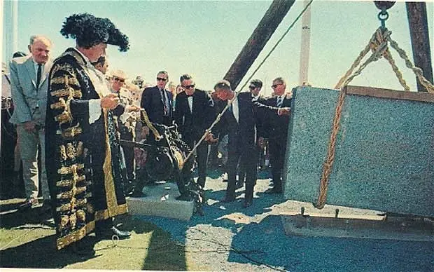
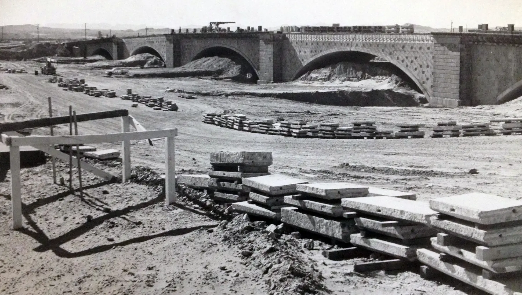
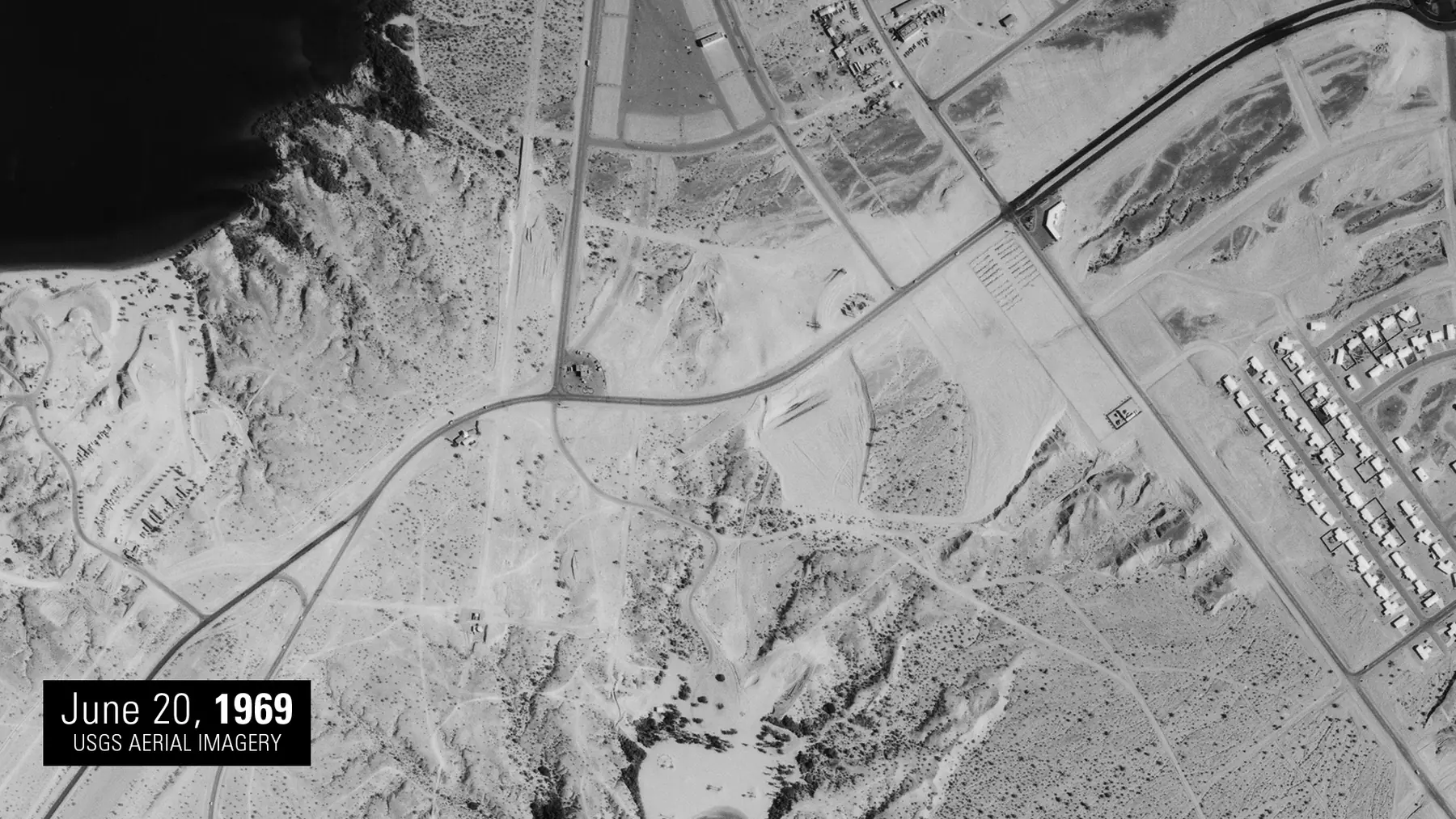
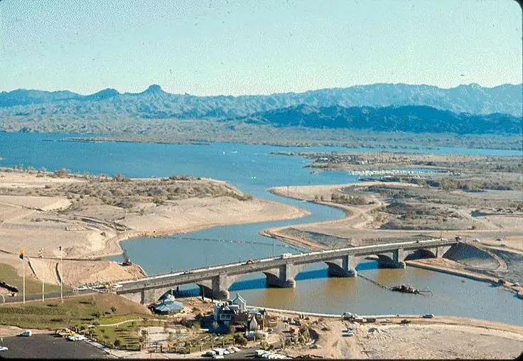
Then and now
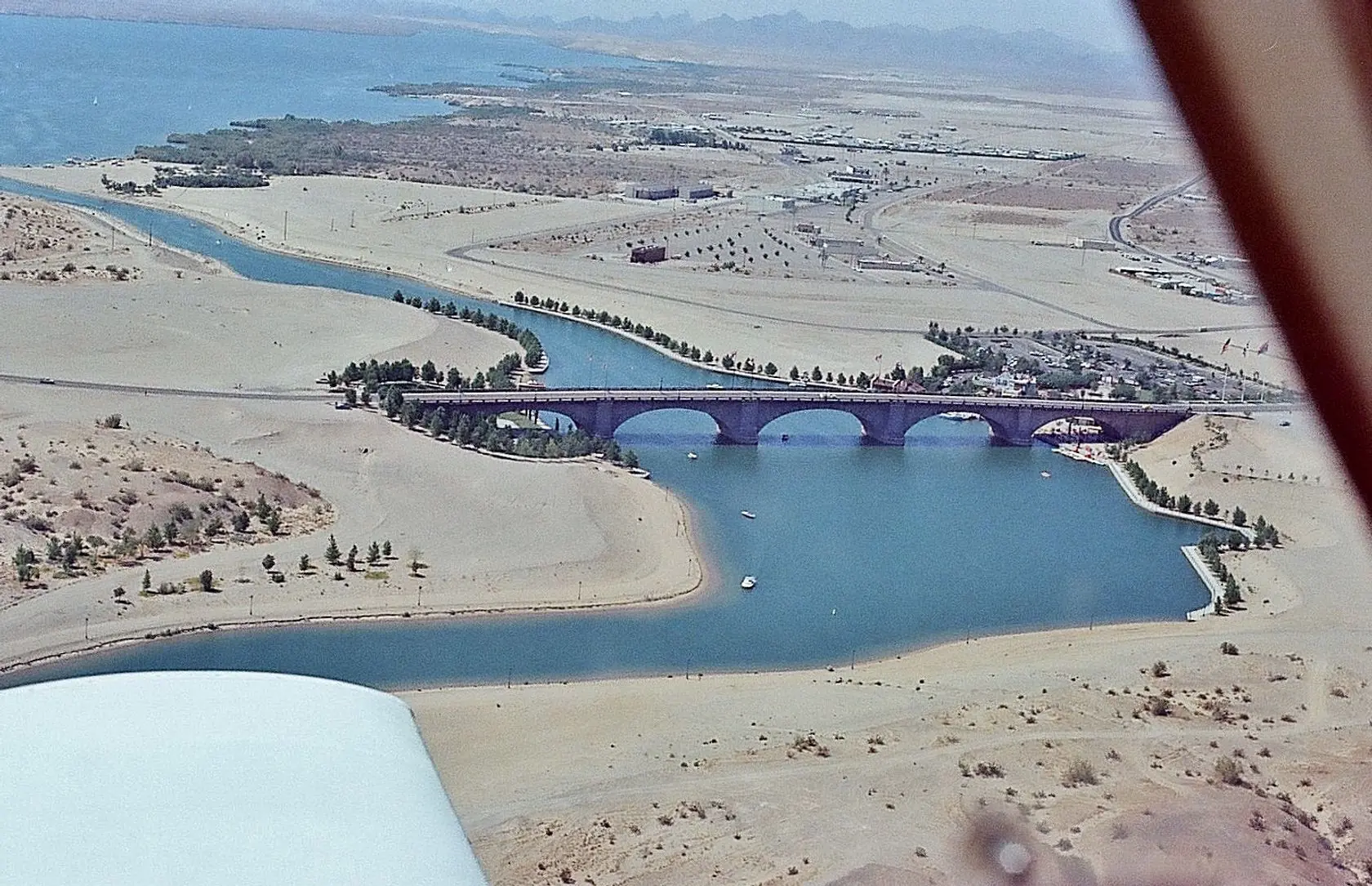
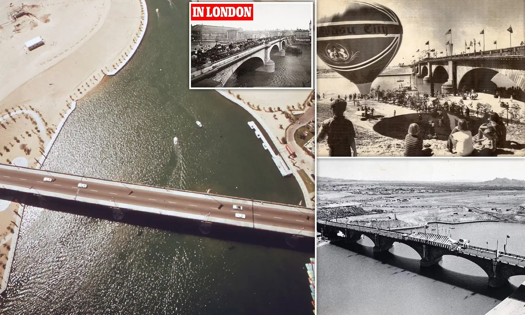
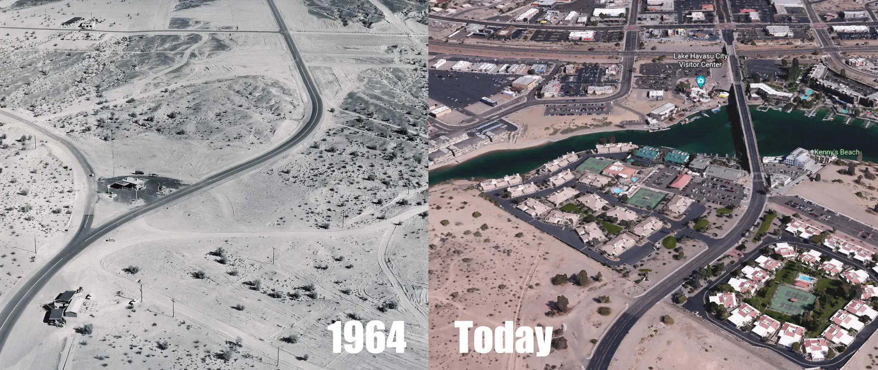
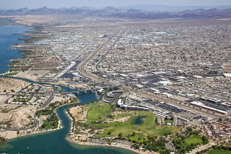
Early desert views, public celebrations and modern aerials show the change from an isolated construction site to the waterfront district visitors know today.
Take the view with you
After you browse the photographs, use these practical routes and current links to find the same public viewpoints in person.
The classic arches
Stand back on a public shoreline path so the arches, water and passing boats establish the bridge’s scale.
Start at English VillageThe complete district
Looking toward the mainland can place the bridge, English Village and Channel activity in the same frame.
Follow the two-sided walkWarm desert color
Morning is usually quieter and cooler; evening can add stronger reflections but also more pedestrians and boat traffic.
Check today’s forecastBridge lights
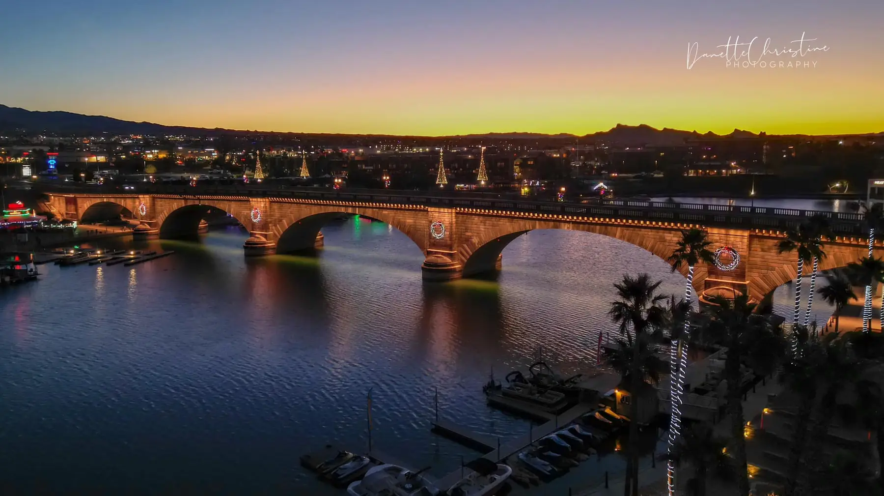
The bridge may be lit for observances and causes. Confirm the current color and date rather than relying on an old photograph.
Check the lighting scheduleThe lake beyond the bridge
A wider Lake Havasu set explains the landscape that surrounds the bridge instead of repeating the same angle.
Find another photo locationPhotography use
Online images are not automatically free to reuse. Contact the photographer for prints, publishing or commercial licensing.
Visit Danette Christine PhotographyFrom the photo archive
Channel level gives the arches their scale. Walk the public shoreline on either side, then change position rather than relying on a single pin. The Island side can frame the bridge with English Village behind it; the mainland side can place the Island and open water beyond the structure.
A wide lens helps when you are close to the arches, but stepping back usually produces a cleaner shape. Use the visitor map and walking route to start at English Village and cross to the opposite side without guessing where public access begins.
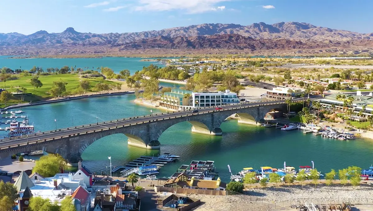
For the straight-on stone-arch view, look for public paths that run near the Channel rather than shooting only from the bridge deck. For the broader city view, include boats, palms, docks and shoreline buildings. Those elements show that the bridge is active infrastructure in a working waterfront district—not an isolated monument.
From the photo archive
Early light is often quieter and cooler, which matters as much for comfort as photography. Sunset can bring stronger color, busier sidewalks and more boat traffic. After dark, the lamps and reflections create a different picture, but stay on lighted public routes and pay attention to closing times for parks and businesses.
The City of Lake Havasu publishes special bridge-lighting information when the bridge is illuminated for observances or causes. Check the current schedule instead of assuming a color will appear on a particular night.
Exposure changes quickly around the water. A tripod may help after dark, but it cannot block a sidewalk or create a trip hazard. If you are photographing from a park, verify closing time before setting up; the City generally keeps parks open until 11 p.m. unless otherwise posted, but event rules or temporary restrictions can differ.
From the photo archive
The relocation story makes more sense when a photograph includes Bridgewater Channel and the Island. Boats beneath the arches show the crossing in use. A higher viewpoint can reveal how the man-made waterway separates the Island from the mainland and opens to Lake Havasu.
For a broader collection, add the English Village, Channel shoreline, a beach or one of the replica lighthouses. The Lake Havasu activity hub provides the practical details for those nearby settings.
A useful visual story can move from detail to context: a numbered granite stone, the full arch profile, a boat passing underneath, the Island shoreline and finally the mountains across Lake Havasu. That sequence explains the relocation and modern setting more clearly than several nearly identical sunset frames.
From the photo archive
Stay in public areas unless a business, resort or property owner has granted access. Do not block sidewalks, docks or traffic for a photograph. If identifiable people are the subject rather than incidental background, ask before publishing their image.
A photograph being online does not make it free to reuse. Credit and permission requirements belong to the photographer or rights holder. The watermarked bridge photograph on this site is associated with Danette Christine Photography; use the photographer’s own site for licensing or print questions.
This gallery deliberately preserves original proportions so subjects and visible watermarks are not cut off. If you share a photographer’s work, do not crop away a signature, remove a watermark or rely on a credit line as a substitute for permission.
Plan for the season—and today’s conditions
Lake Havasu offers a different kind of day in every season. Summer is built around early starts, water and shade; winter often brings comfortable afternoons with cooler mornings, evenings and boat rides. Check the live forecast here, then match your bridge walk, Channel stop or lake plan to the temperature and wind you will actually have.

Question → answer → direction
There is no single best spot. Channel-level views emphasize the arches, while the Island side and mainland side give different backgrounds. Walk both sides if heat and mobility allow.
Yes from public areas, but park and business hours vary. Use lighted walkways, avoid blocking paths and check whether a special lighting schedule is active.
Sunrise often gives you cooler air and fewer people. Sunset can create warm color and reflections, while daylight shows the granite and Channel most clearly. The best choice depends on whether you want atmosphere, architectural detail or an active waterfront scene.
Not automatically. Copyright remains with the photographer or rights holder unless an image is specifically licensed for reuse.
Check the original source
Historical facts are anchored to official tourism, city and state sources. Use those destinations for schedules, rules and other details that can change after this page is updated.
Keep the plan connected
MAP
You do not need a ticket to see or cross the London Bridge. The easiest first stop is the Go Lake Havasu Visitor Center at 422 English Village, where free parking, maps and local information put you beside the mainland end of the bridge.
Open the guide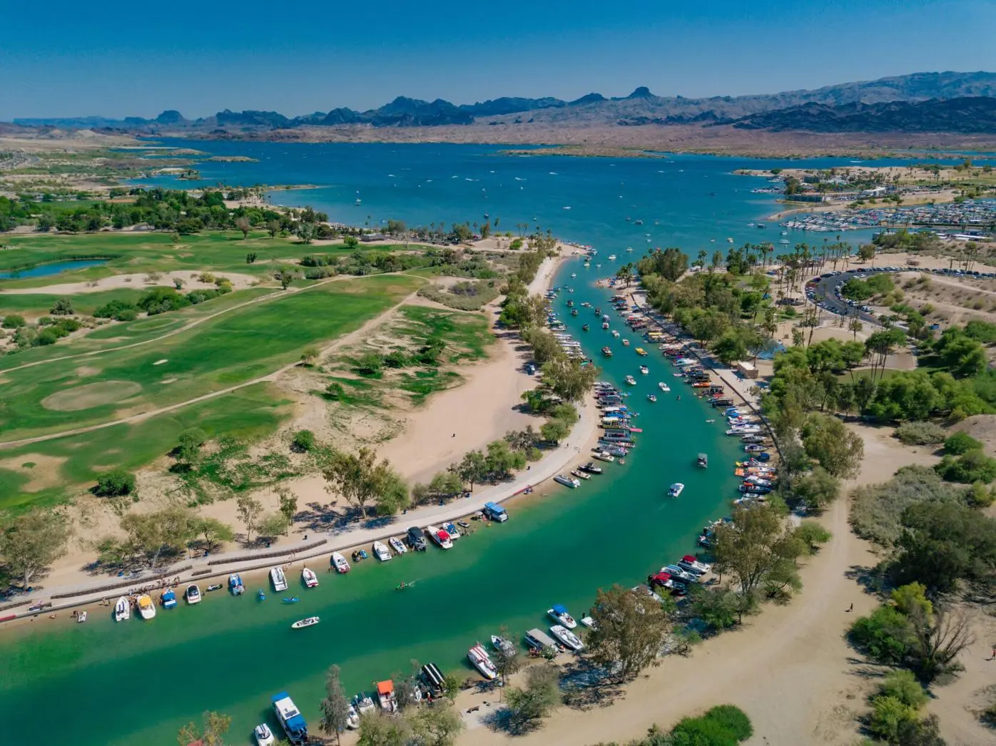
MAINLAND
Bridgewater Channel is the man-made waterway beneath London Bridge that separates the Island from mainland Lake Havasu City. It is where the bridge’s history, pedestrian waterfront, beaches and boat traffic all meet.
Open the guide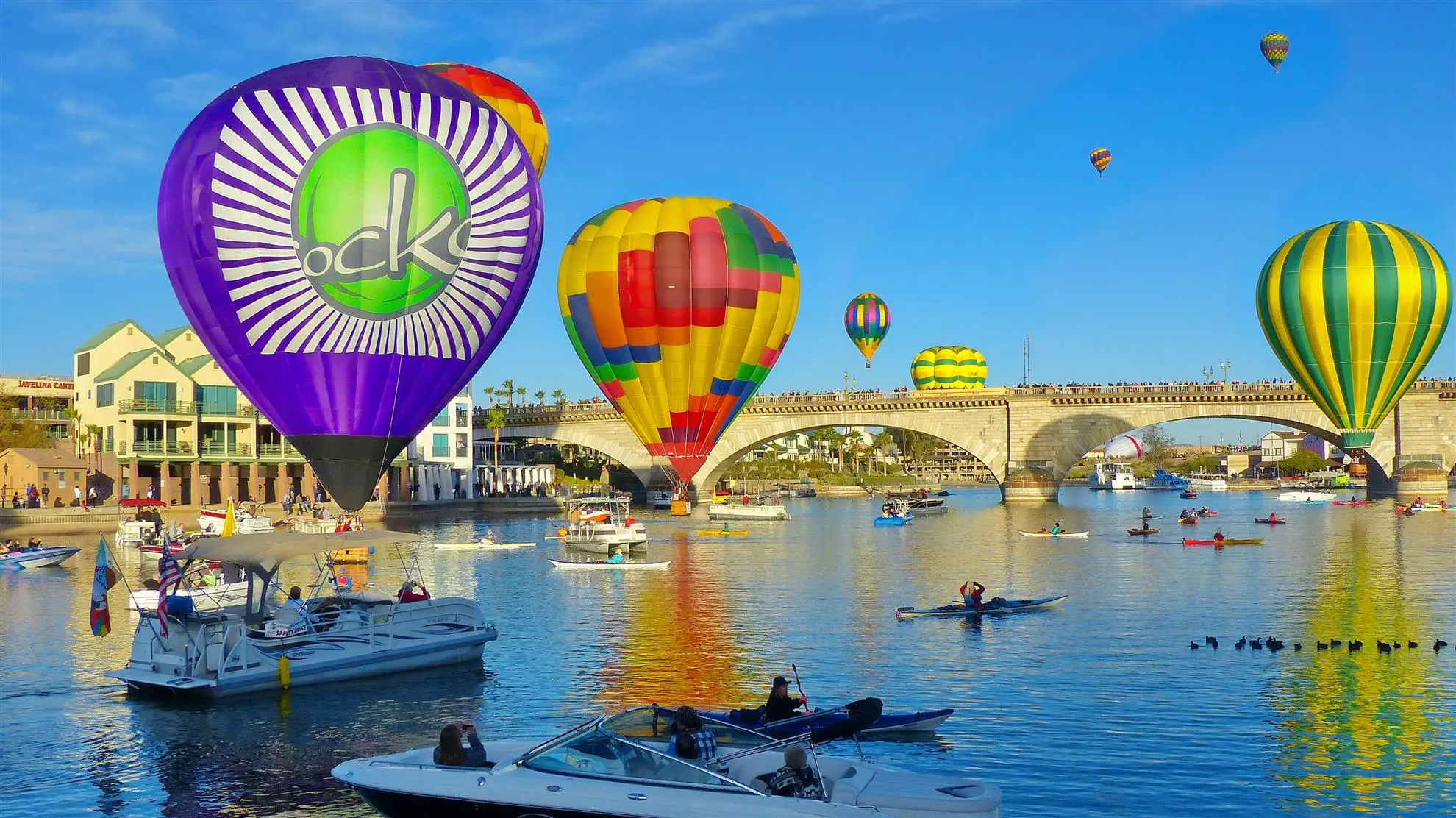
TWO HOURS
Start with the bridge, English Village and Bridgewater Channel. Then add one stop that fits your time and the weather—a beach, boat ride, Island loop, museum, meal, sunset or current event.
Open the guide